Mandurah Country Club
Perth Centre was commissioned by Mandurah Country Club to perform a detailed aerial survey of the entire golf course using our state of the art survey drone in order to update their outdated or nonexistent reticulation plans.
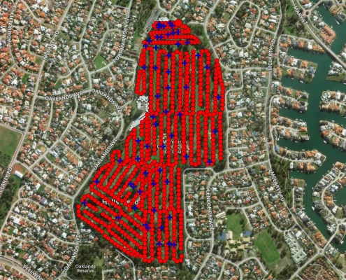
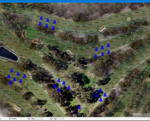
The brief required all major features to be captured as well as every sprinkle head, valve box and recently completed wiring trenches. These were all individually marked with paint so as to be clearly visible from the air.
A total of 10 flights were required to survey the entire course at an altitude of 75m and a total of 1000+ images were taken. 57 Ground Control Points were also taken using a GNSS Rover.
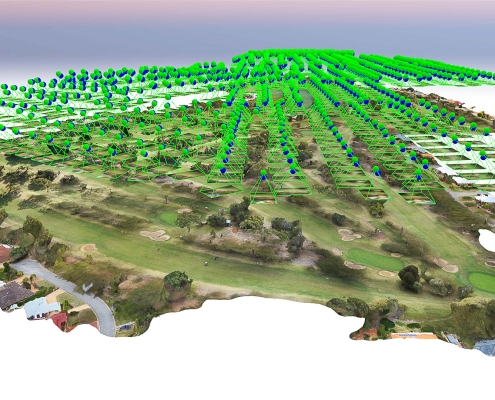
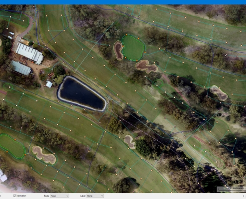
The images were then processed in Pix4d software to produce an orthomosaic image of the entire course, geospatially correct to an accuracy of approx. 2 – 2.5cm. The mosaic image was then converted to an ECW file and imported into Autocad allowing us to create an accurate CAD base and reticulation plan of the entire course.
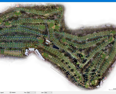
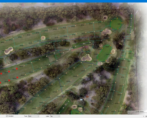
The reticulation plan and mosaic image were then provided to the Golf Club for their own records and also to Toro Australia who converted the CAD file to ESRI shape files and overlaid active icons. These were then used for the front end site map for the automated reticulation system they were installing.